Pilgrim trails: Birgittaway Jönköping-Vadstena
⋅ Monastery way Alvastra-Rogslösa (West)
⋅ Monastery way Alvastra-Borghamn (East)
⋅ Virgin Mary round
⋅ Alvastratrail
Detail maps: Alvastra
⋅ Stocklycke
⋅ Borghamn / North Omberg
Welcome to a pilgrimage hike over the Omberg, the sacred mountain of the Ostrogoths, or in the venerable surroundings of the former Alvastra monastery.
The monastery trail (Klosterleden) is the oldest pilgrimage route over the Omberg. It was established in 1999, shortly after the opening of the pilgrimage centre in Vadstena.
The entire Klosterleden, which once stretched from Kolmården in the north and from Alvastra in the south to Vadstena, got its name because it passed eleven monasteries with five different monastic traditions. The latter is no longer the case since the Kolmården-Vadstena connection was abandoned in favour of the Birgitta Way Söderköping-Vadstena.
The original route over the Omberg went from Alvastra via Hjässan straight on to Ragels kärr, Svartsvall and past the Convent of the Sacred Heart to Borghamn and Rogslösa.
It has changed several times since then, most recently to a greater extent in August 2020 in connection with the relocation of the Ombergsleden on the east side of the Omberg. After that, the Klosterleden followed the western route of the Ombergsleden and continued on the Östgötaleden to Vadstena. The old paths are still accessible. It is now even recommended again to use the eastern route and the old shortcut past the Convent of the Sacred Heart via Rogslösa-Hässleby.
Show map on Pilgrim trails in the Alvastra and Omberg region (full screen)
 130 km
Since 2019, work has been underway to create the so-called Saint Birgitta Ways. The intention is to merge existing pilgrim paths into a long-distance route from Hamburg, Trondheim and Uppsala / Stockholm to Vadstena under the name Birgitta Ways (Birgittavägarna). By this way Vadstena will be connected with other pilgrimage destinations in Europe and the Nordic countries.
Östgötaleden will then be the last stage on the Hamburg-Lund-Jönköping-Alvastra-Vadstena route, and the trail across the Omberg will be one of the most exciting sections. You can already test the new Birgitta Way between Jönköping and Vadstena. A warm welcome!
Saint Birgitta Ways
Franciscusleden (Byarum-Jönköping-Alvastra)
uMap (Pilgrim trails in the Alvastra and Omberg region)
Pilgrimscentrum Vadstena
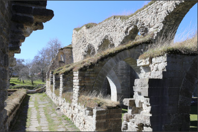 Alvastra monastery ruin
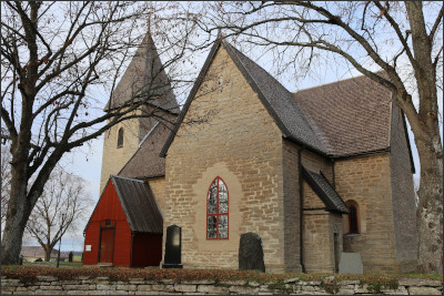 Rogslösa church

 18 km Alvastra-Rogslösa

 40 km Alvastra-Vadstena
The (new) Klosterleden follows the western part of the Omberg trail to Borghamn and at most the Östgötaleden further to Vadstena.
Follow the Östgötaledens/Ombergledens and "Saint Birgitta ways" markings.
Section Alvastra-Rogslösa: uMap
⋅
pdf
Section Rogslösa-Vadstena: uMap
⋅
pdf
Please note! Pilgrim's Welcome (Rogslösa parish hall) is temporarily closed. If you need to stay overnight, choose Borghamn Strand instead and continue your hike via Västerlösa, Hovanäset and Bårstad or via the Strandstigen, Hovanäset and Bårstad to Olstorp and continue on the Östgöta trail.
If you do not wish to continue your hike via Rogslösa, there is a direct connection from Borghamn to Olstorp.
Deviation Borghamn-Olstorp: uMap ⋅ pdf
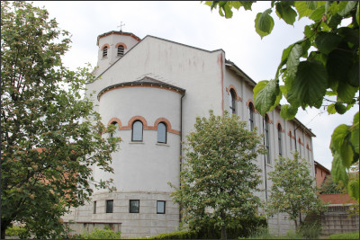 Convent of the Sacred Heart
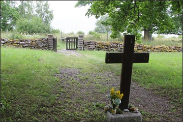 Bockakyrkogården.
 13 km Alvastra-Borghamn
The western trail is sometimes demanding. If you want an easier hike, you can choose the eastern route to Borghamn. You pass Makersbergen with views over Dags Mosse and Tåkern, Renstadsfällan, where tens of thousands of cowslips bloom in May, Ragel's marshes and the eastern fault of Omberg.
Follow the Östgötaledens/Ombergledens markings.
For the pilgrim, a detour through the Ombergliden nature reserve to the Convent of the Sacred Heart is a must. There you can get your pilgrim pass stamped and take part in the nuns' Liturgy of the Hours.
Take the old "Marialeden" or the old Klosterleden to continue from Hl. Hjärtas kloster towards Borghamn or Rogslösa. Both hikes now lack markings. Use UpplevVadstena's maps for orientation.
Stage Alvastra-Borghamn: uMap
⋅
pdf
Svartsvall - Hl. Hjärtas kloster - Borghamn:
uMap
⋅
pdf
Svartsvall - Hl. Hjärtas kloster - Rogslösa:
uMap
⋅
pdf
 8 km
8 km
The Virgin Mary round is identical to the northern round of the Omberg trail.
Follow the Östgötaledens/Ombergledens markings. Take the shortcut between Svartsvall and Västra Väggar and walk a short distance over N Sjövägen. (The loop lacks its own signposts and markings). Take the shortcut between Svartsvall and N Sjövägen and the short distance (150 m) over Sjövägen to/from Västra väggar. If you want to take a detour to Convent of the Holy Heart, go "Marialeden" instead.
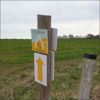 Alvastratrail: Signpost
 Stage Ödeshög - Alvastra 9,7 km
 Stage Alvastra-Västra Tollstad 3,1 km
 Stage Västra Tollstad-Heda 3,8 km
 Stage Heda-Alvastra 5,8 km
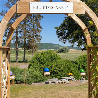 Västra Tollstad: Pilgrim's park
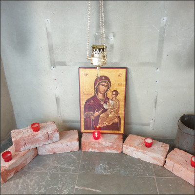 Västra Tollstad church: Birgittakor
The pilgrim trail "Alvastraleden" was created by the parish of Ödeshög and connects Ödeshög with Hästholmen, Västra Tollstad (church and pilgrimage park), the Alvastra monastery ruins, Heda (church with prayer chapel and "Our Lady of Heda"), Isberga and St Broby.
Affisch ⋅ Pilgrim i Alvastrabygd ⋅ FB
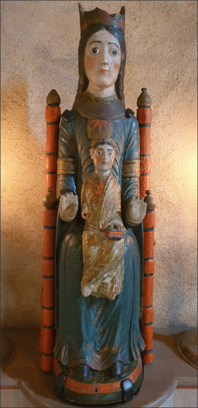 The Madonna of Heda
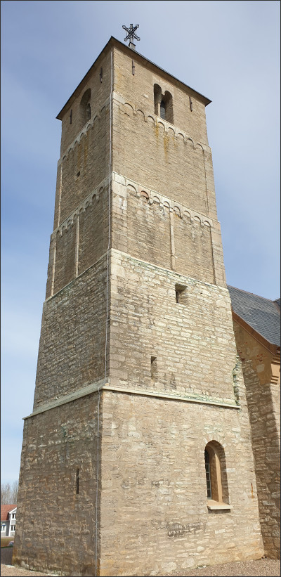 Heda church tower
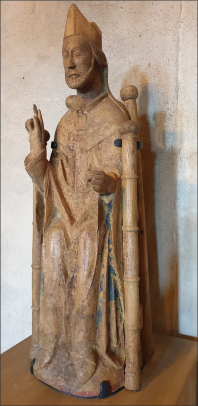 S:t Nikolaus
Facilities:
The map section shows all the ways and paths between Borghamn Strand, Brottsledet and Drottning Ommas Borg.
The direct connection between Borghamn Strand and Drottning Ommas Borg past Bockakyrkogården is steep and you have to hold on to ropes. In addition, the path crosses two fence steps, one of which is directly in the slope. Hikers with walking difficulties or with dogs are best advised to use Bockavägen and Sjövägen (i.e. the official route of Marialeden) or alternatively Bockavägen and the lower motion track.
Facilities:
Facilities: